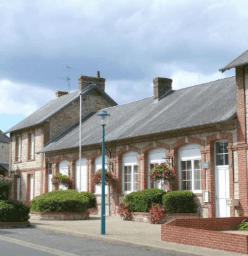
Saint Michel des andaines - Commune de Bagnoles de l'orne Normandie - La ronde de l'Archange
The Route < Download the sheet >
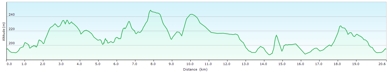
Duration : 6 h -
Distance : 20,5 Km -
Variation : 322 m -
Bridlepaths : 60 % -
Marked footpaths : Yellow -
Difficulties : Difficult -
Little anecdotes :
- Most mayors of Saint Michel used to live in St Ouen (Paris) and were in charge of the last stages of the maturing process of Brie cheese.
-There used to be an archangel on the top of the church spire. This archangel fell just in front of the congregation leaving the church after mass as the bells were ringing.
Mairie : 02 33 37 11 91, Ouvert lundi/vendredi 9h-12h30 et 13h30-17h
description

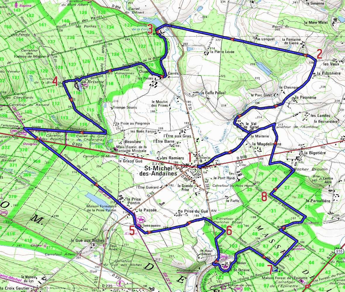
- Park near the church.
With the church behind you, carefully cross the D908, and turn right onto the road « Rue de l’Etre Plessis » leaving the village and going towards St Maurice du Désert.
Take the first road on the left towards « Val de Gestel ».
Follow this lane downhill.
Before the bridge, turn right into the lane then at the end of the lane turn left onto the road. - After the « Pilonnière » take the first left onto the road which is just before a roadside cross.
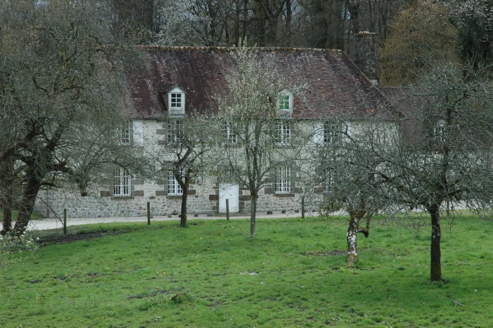
Continue along the edge of the forest on the tarmac road for about 2.2 km until you reach the D53; cross the road (carefully) and head for "l’Etang de la Forge »(pond) . - Immediatly after the « maison du maître de forge » (private property), bear left round the bend up to « Chapelle des prises »(private property no entry) and then go into the edge of the forest.
Follow the forestry path on the left.
At the « Carrefour des Amazones », continue straight on not forgetting to take a slight detour to your left to have a look at the pond« Etang de la Brisette ».
Head back onto the forestry path until you reach « Carrefour de la Brisette » - Fork left onto the forestry road « Gué de Chalendray ».
At the crossroads, take the tarmac road on the right.
After about 30m, turn right, immediately before the plot of land numbered 105.
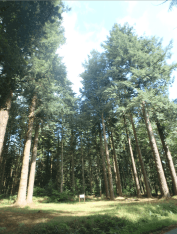
Continue straight on to the « Carrefour Ferriere » then turn left towards « Carrefour des Pépinières » (Don’t forget to have a look at the Douglas firs on the left).
Cross the D908, (carefully) and go straight on to the forestry road « Prise Pontin » (1.8 km) until the D53. Cross the road, (carefully!)
Continue along the lane across the road towards the « Village du Cheval » - Leaving the village behind you on the left, turn immediately onto the path on the far left.
At « Carrefour du Plancher Pottier(D386), continue onto the road opposite « route forestière de l’Epinette ». - Fork right between the plots of land numbered 103 and 104.
Keeping the D386 on your left then go under the railway bridge.
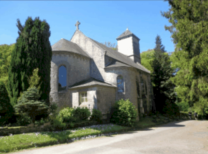
You pass by the « Prieuré de St Ortaire".
Continue straight on then immediately turn left onto a lane which borders the edge of the forest.
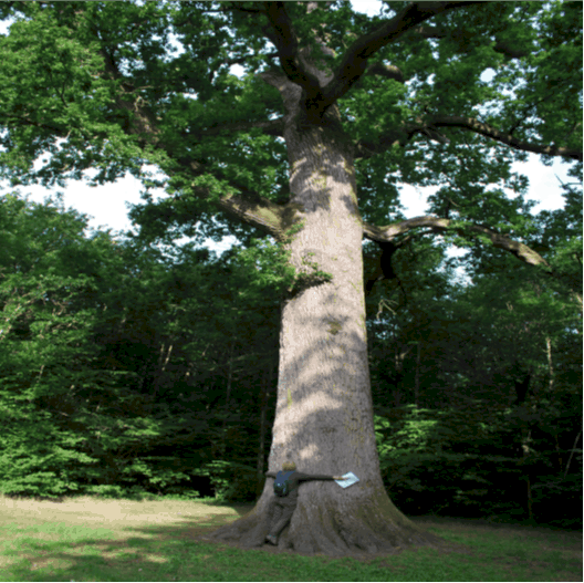
Go back uphill towards the forestry lane , turn right and continue (for about 200m) - Follow the signs to Chêne Hippolyte (oak tree) and go between the plots of land numbered 45 and 46. Turn left onto « Sommière du Rocher Broutin ».
Turn right and follow the railway, then turn left on the forest road "la Magdelinière ». - Turn right between plots of land numbered 27 and 28.
Near Rocher Broutin turn off to the left along the edge of the forest for 400m.
Turn right and go straight on until you reach the D908.
Crossing the D908 (carefully) continue along the road opposite until you reach the tarmac road.
Turn left and follow the road towards St Michel.
Etang de la Brisette
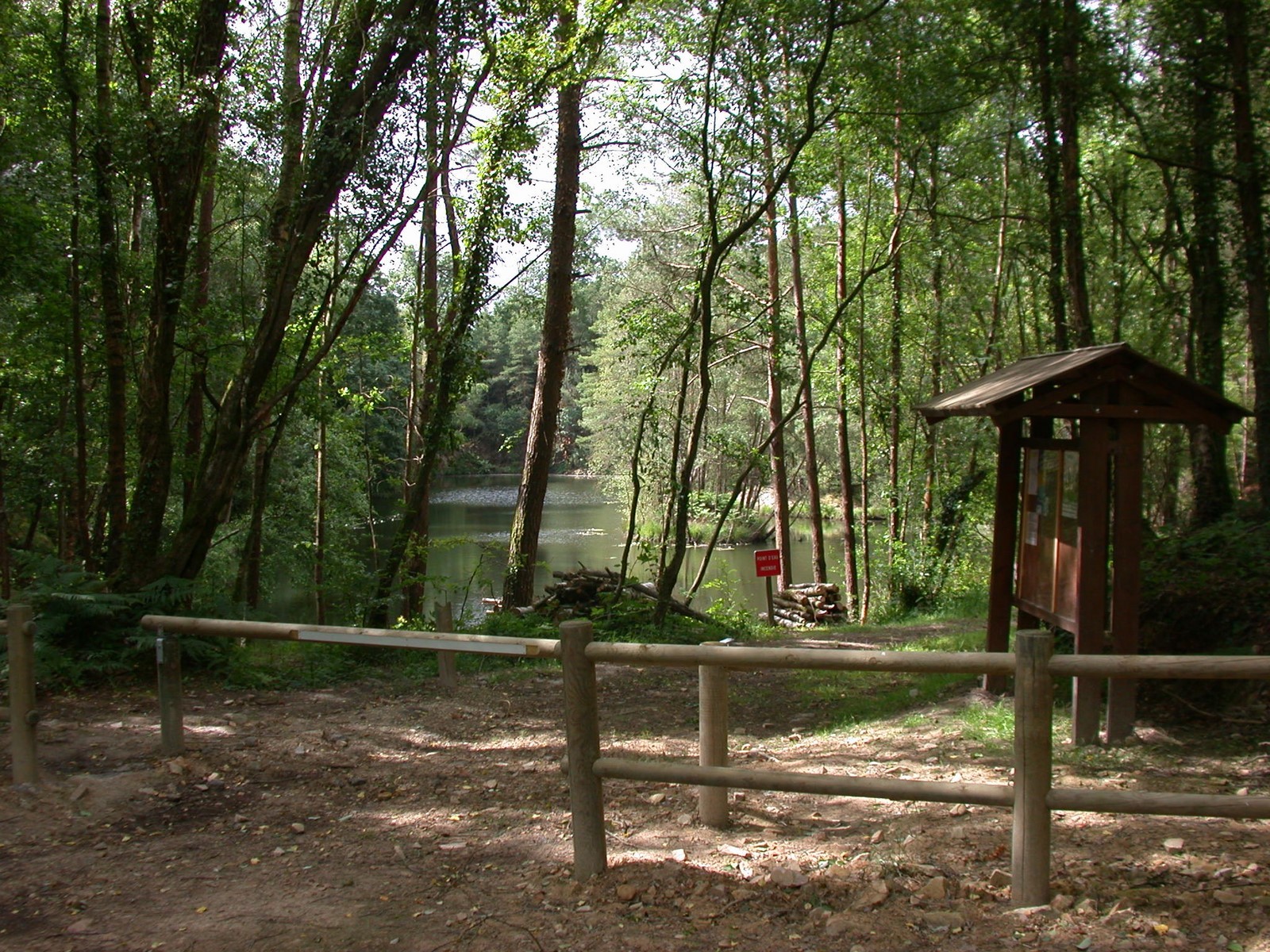
The « Etang de la Brisette » used to be a stone quarry.
The stones were used to build the wall around Bagnoles lake.
The Forges
In the 15th and 16th century, there were a lot of big forges in the region.
The iron ore was mainly extracted in the forest.
Today, there only remains the Mansion where the forge master used to live and a large pond.
La chapelle des prises

Chapelle des Prises.
Private property.No entry
« Prises » refers to a piece of land after clearing
Saint Ortaire and chapelle des Servites
arbres remarquables
Notable trees along the way :
11 Douglas trees, each 42 m tall.
Oak tree nicknamed Hippolyte, it is 30 metres tall and its trunk is 5 metres 30 cm around.
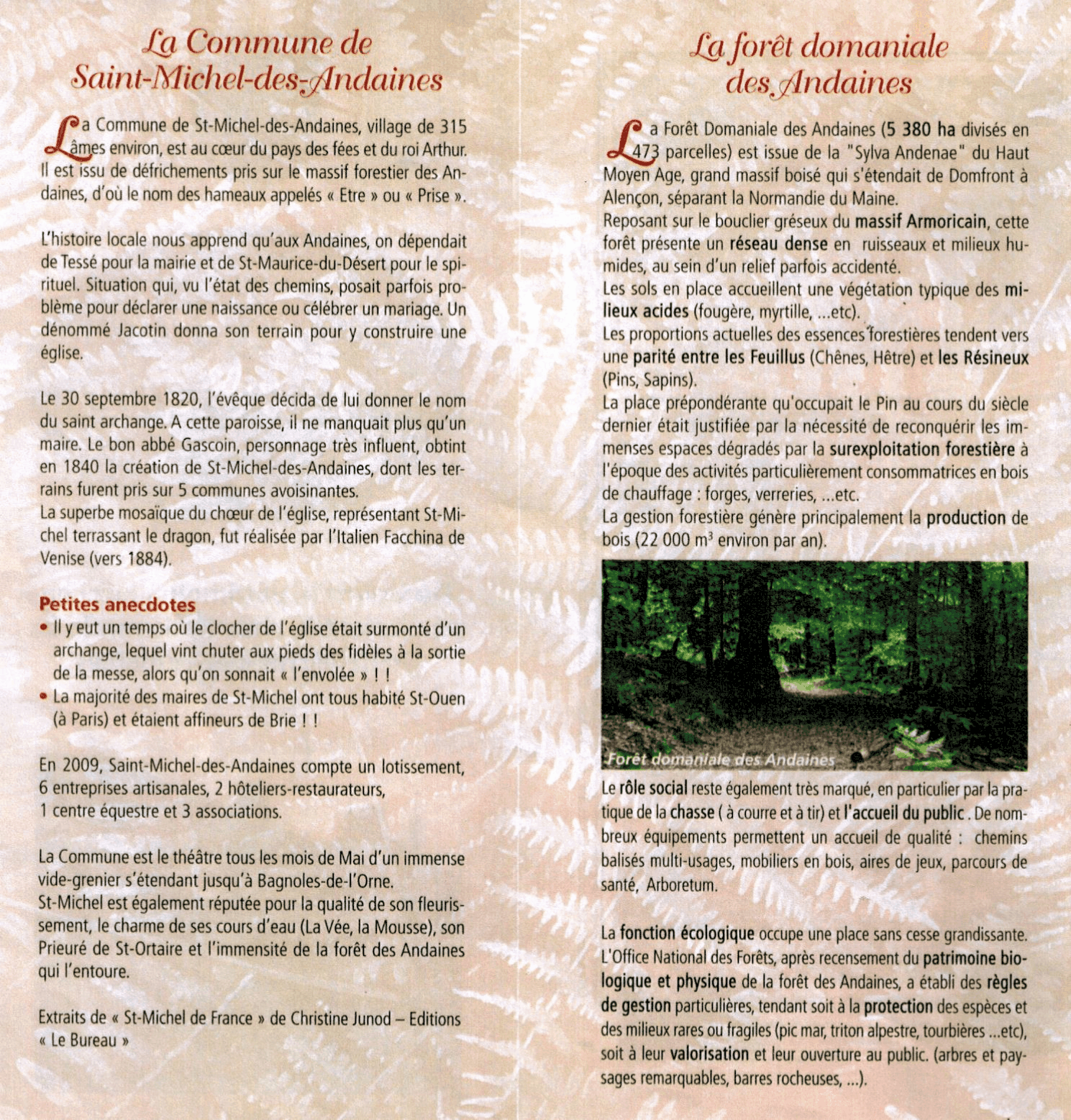
Saint michel des andaines and forest des andaines
altimetric contour